Start of a Big Snowstorm in Australia
Start of a Big Snowstorm in Australia
Published : 17-Jul-2018 10:25
A new wave of fresh snowfall has begun falling in Australia with most of the country's main resorts expecting at least another foot of the white stuff by the weekend.
So far ski areas have reported a few centimetres of fresh snow but 15-40cm totals are expected by Saturday as things turn increasingly snowy, with Thursday and Friday likely to be the snowiest days of the week at most of the country's resorts according to forecasts.
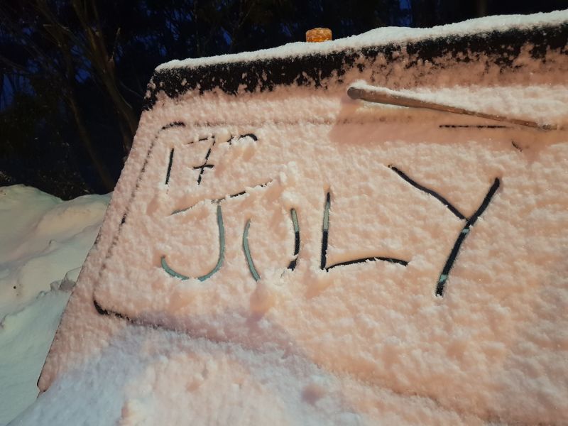
Current forecast totals over the next few days are around 15cm for Mt Baw Baw (pictured above this morning) and Perisher; 30cm for Thredbo, 35cm for Mt Hotham and Falls Creek and 41cm for Mt Buller.
Australia has had one of its snowiest starts to the season this century with bases at several ski areas including Thredbo and Perisher already close to the metre mark – a very healthy depth for Australian ski centres.
The fresh snow seems likely to take a number of resorts to 100cm+ depths.
Join the conversation : Discuss this in the J2Ski Forum
This news item has been viewed 3,694 times.
Also on J2Ski :- Thredbo Snow Forecast Ski Hotels